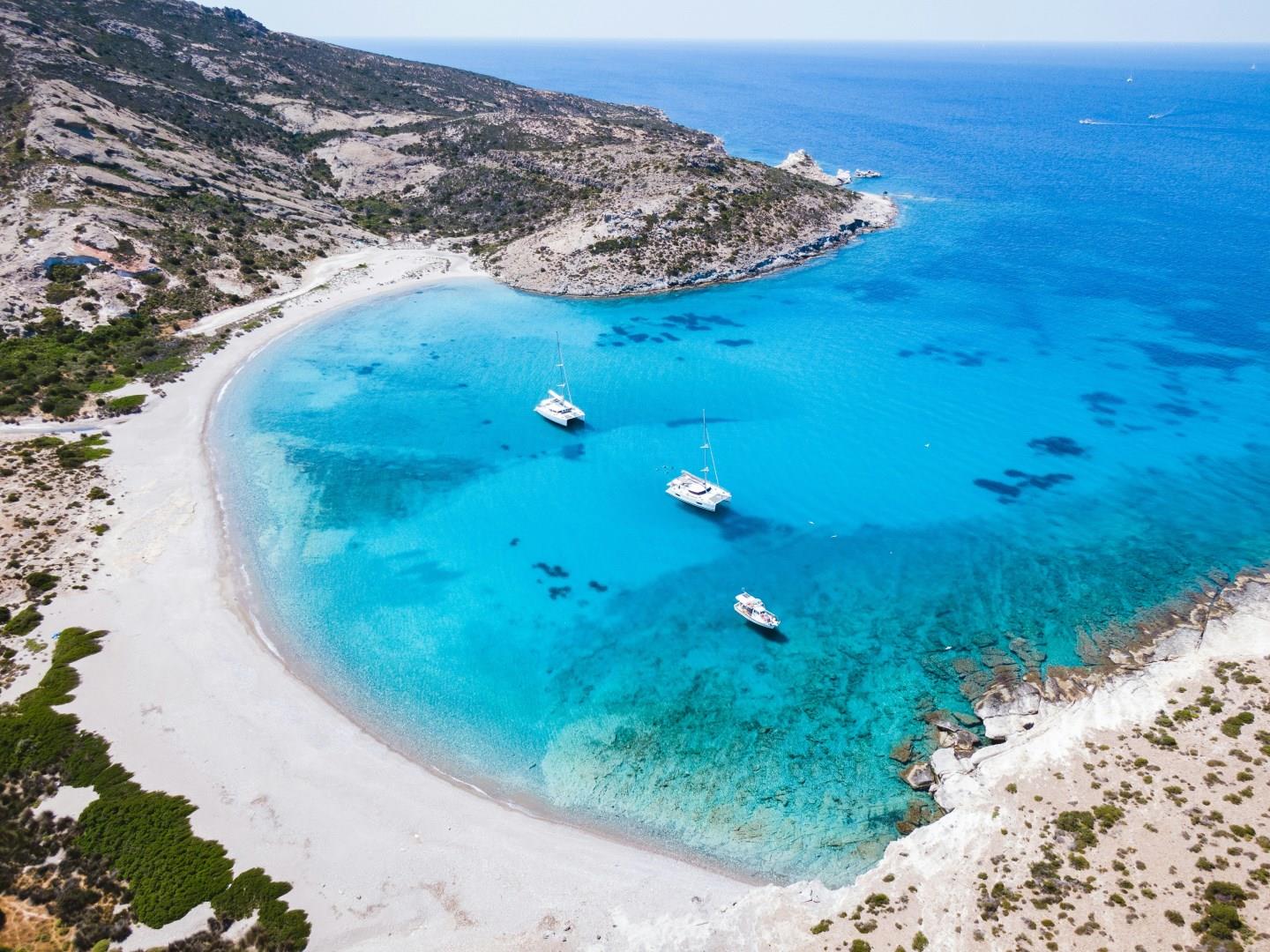
Milos
Milos is one of the most striking islands in the Aegean Sea, known for its otherworldly landscapes, turquoise coves, and centuries-old history. Shaped like a horseshoe, the island was formed by volcanic activity which left behind dramatic cliffs and hidden beaches carved from soft white rock. Visitors often find their first glimpse of Milos unforgettable, especially at Sarakiniko Beach where smooth, chalk-white formations contrast with the vivid blue water.

Dominica
Dominica, known as the “Nature Island of the Caribbean,” is a haven for eco-tourists and adventure seekers. Nestled between the French islands of Guadeloupe and Martinique, this lush island boasts a remarkable landscape of volcanic mountains, dense rainforests, and stunning waterfalls. Dominica’s most iconic natural wonder is the Boiling Lake, the second-largest hot spring in the world.
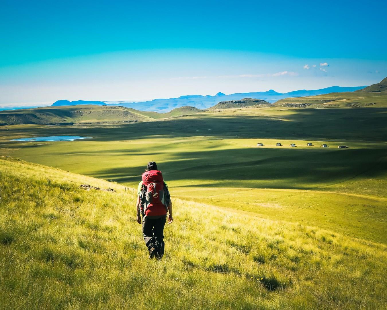
Lesotho
Lesotho, known as the “Kingdom in the Sky,” is a landlocked nation entirely surrounded by South Africa, famed for its dramatic mountain landscapes and rich cultural traditions.
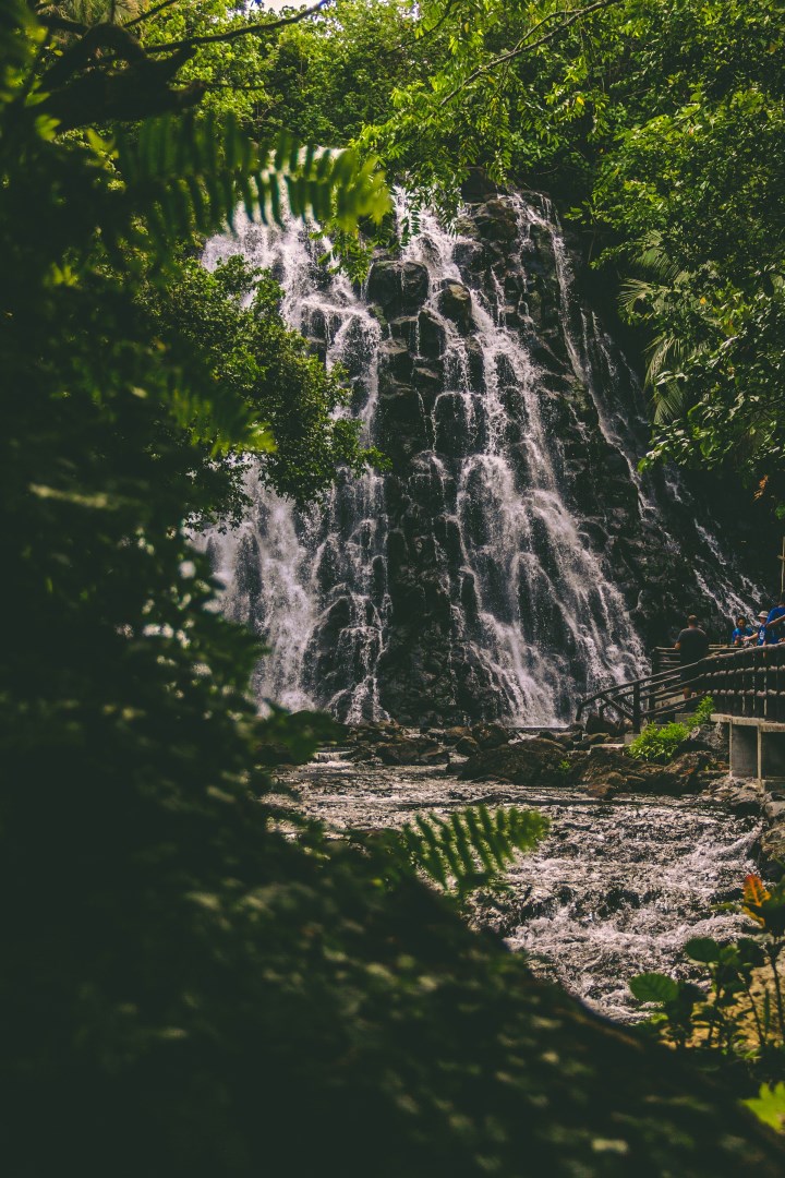
Pohnpei
Pohnpei is the largest island in the Federated States of Micronesia and the administrative center of Pohnpei State. It lies in the western Pacific and is known for its mountainous interior, dense tropical vegetation, and high rainfall. The island is surrounded by a barrier reef and numerous small islets, creating a landscape of forested slopes, mangroves, rivers, and coastal waters.
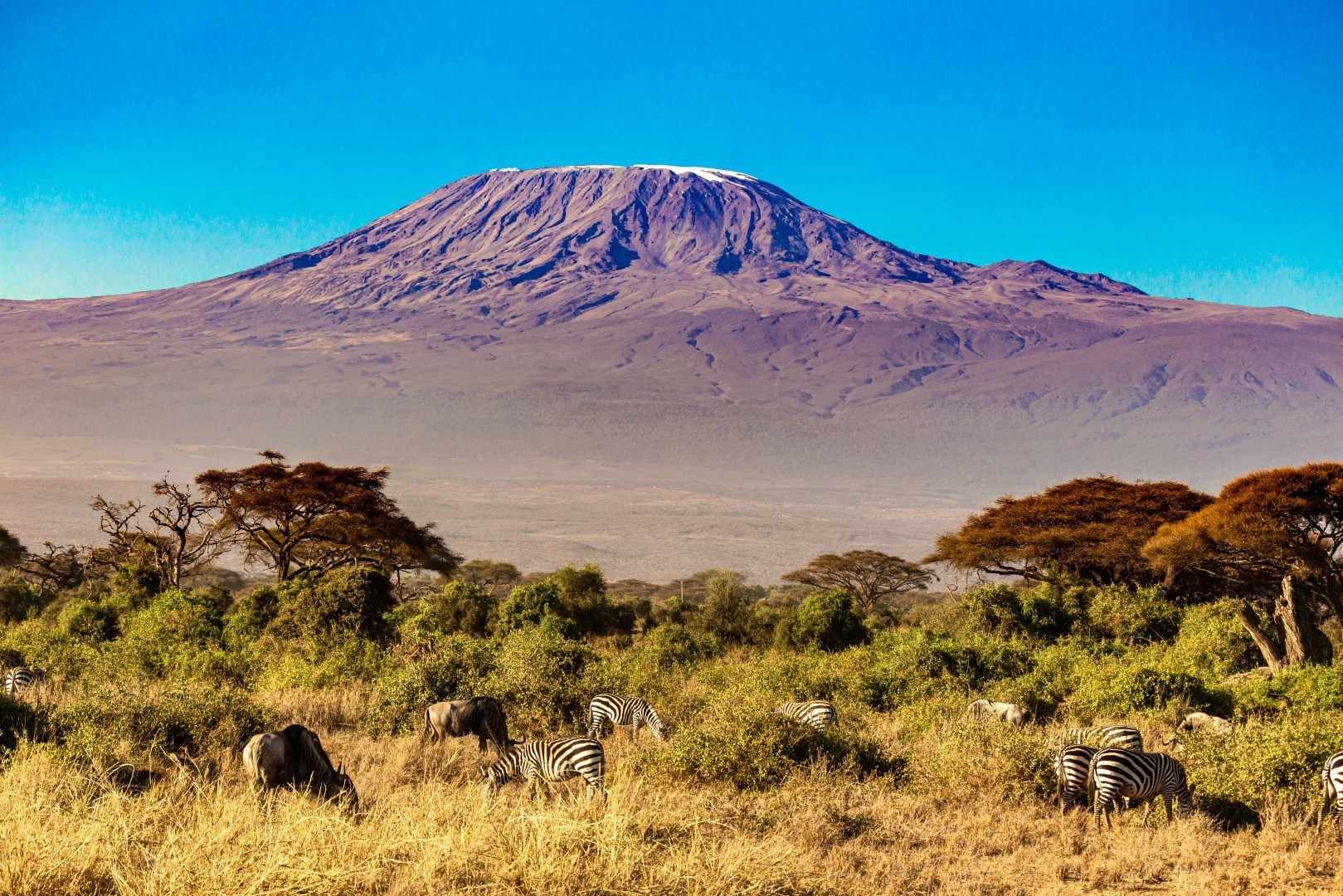
Amboseli
Amboseli is a wildlife region in southern Kenya, centered on Amboseli National Park in Kajiado County near the border with Tanzania. Its landscape is defined by open plains, seasonal lake beds, acacia woodland, and freshwater swamps, with Mount Kilimanjaro rising prominently across the border to the south.