Barca d'Alva
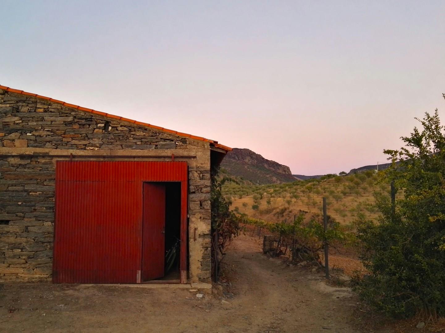
Barca d'Alva sits quietly along the Douro River, right at Portugal’s eastern border with Spain. Once the final stop on the historic Douro railway line, this riverside village remains relatively untouched by mass tourism. The surrounding landscape filled with terraced vineyards, olive groves, and almond trees form part of the UNESCO-listed Alto Douro Wine Region.
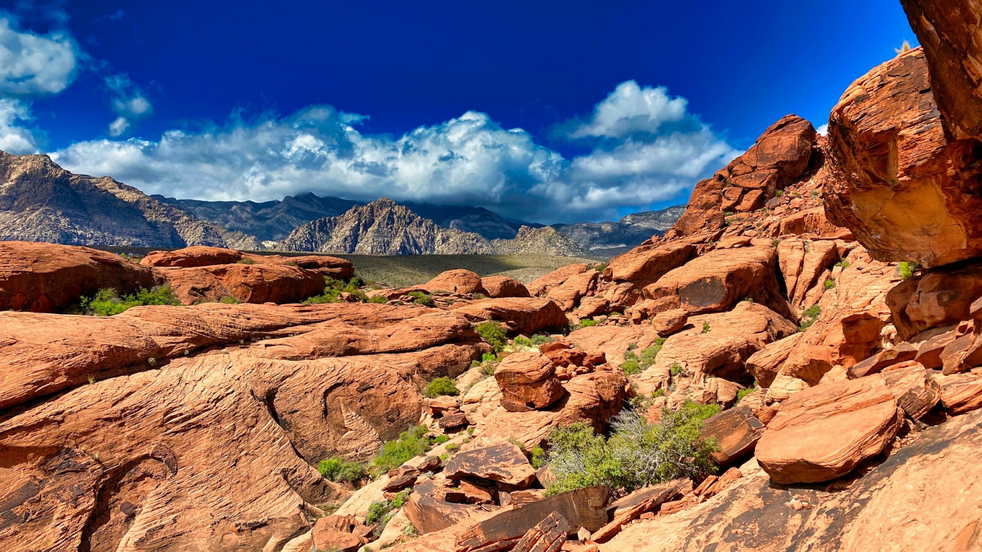
Red Rock Canyon National Conservation Area
Red Rock Canyon National Conservation Area lies about 17 miles west of the Las Vegas Strip, where the Mojave Desert rises into sandstone cliffs, rugged mountains, and broad desert valleys. Nevada’s first National Conservation Area, it covers nearly 198,000 acres and provides a sharp contrast to the developed landscape of Las Vegas. The area is best known for its red and cream-colored rock formations, especially the Calico Hills and the Red Rock escarpment.
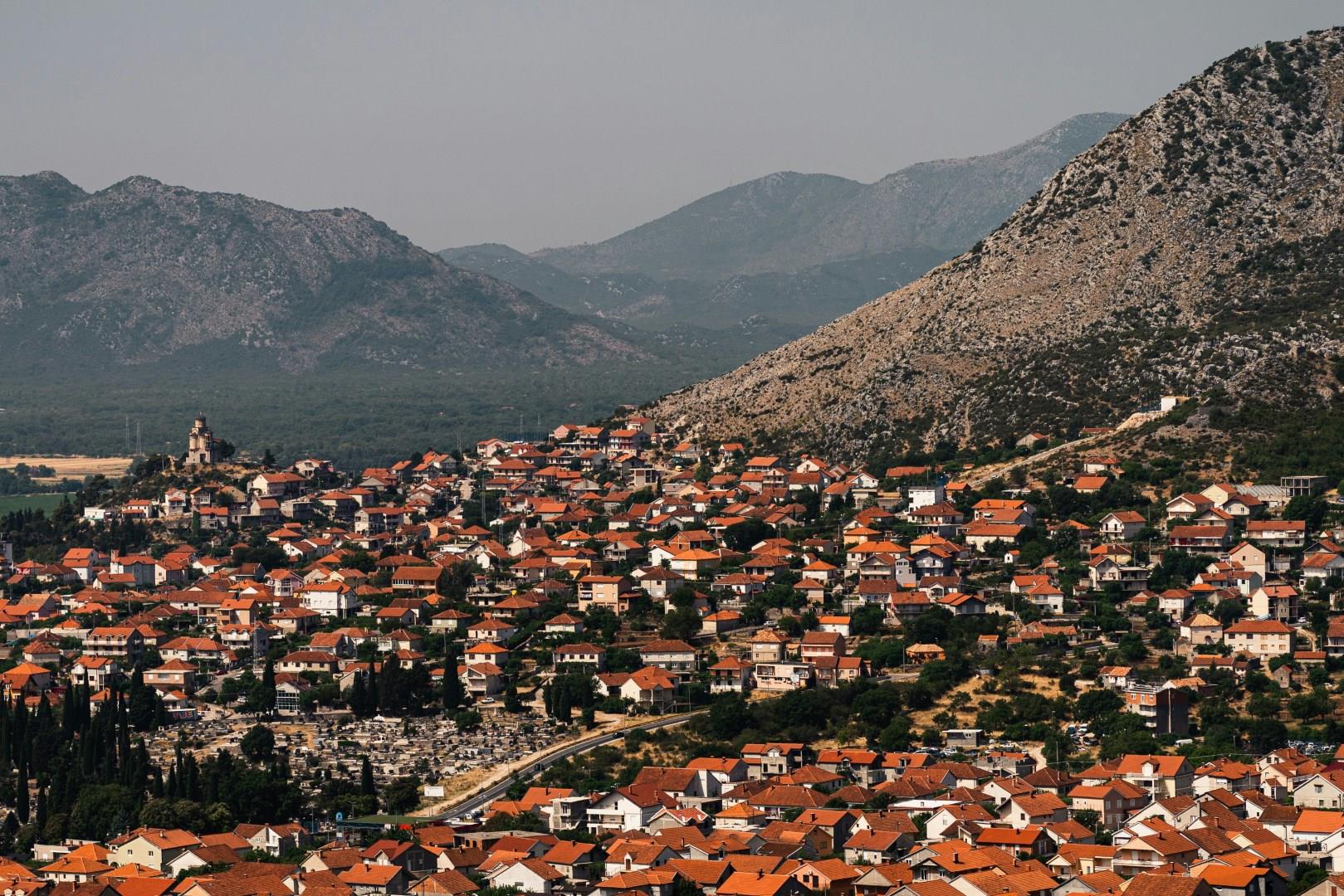
Trebinje
Trebinje, the southernmost city in Bosnia and Herzegovina, sits just a short drive from the Adriatic coast but offers a completely different rhythm. Framed by hills and set along the Trebišnjica River, the city has a history stretching back to Roman times. The river that winds through the city is one of the longest sinking rivers in the world and often disappears underground and resurfaces in various places.

Durham
Seen from the train, Durham presents a magnificent sight, with cathedral and castle perched atop a bluff enclosed by a loop of the River Wera, and linked to the suburbs by a series of sturdy bridges.
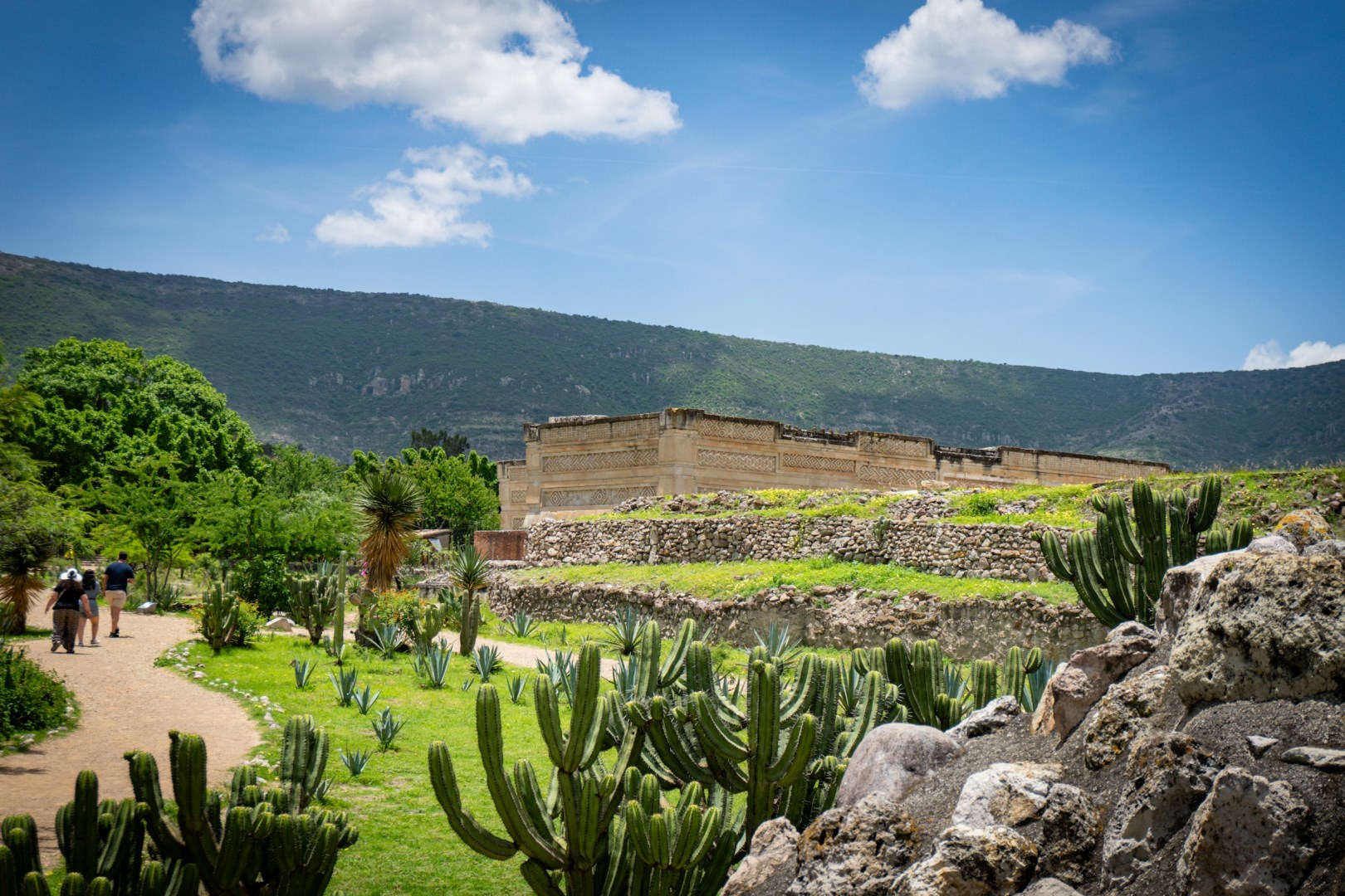
Mitla
It is located 46 km from the city of Oaxaca. Mitla is famous because of its important archaeological zone, which has extraordinary constructions and a museum where valuable pieces of the Zapoteca culture are exhibited. Other interesting places you can visit in this town are the San Pablo Mitla Church and the Market of Handicrafts where beautiful textile works are sold.