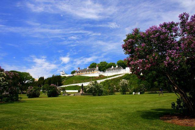
Norway
Norway offers a landscape shaped by glaciers, framed by fjords, and steeped in Viking history. The country's coastline stretches for over 100,000 kilometers if you count every inlet and island, which makes it one of the longest in the world. Travelers can take a ferry through the Geirangerfjord or cruise along the Lofoten Islands, where steep mountain peaks rise dramatically from the sea. These routes aren’t just scenic; they’ve been lifelines for coastal communities for centuries.

Antigua
Antigua and Barbuda are located in the middle of the Leeward Islands in the Eastern Caribbean. Antigua, the largest of the British Leeward Islands, is about 14 miles long and 11 miles wide, encompassing 108 square miles. Barbuda, a flat coral island with an area of only 68 square miles, lies approximately 30 miles to the north. The population is approximately 68,000 and its capital is St. John's on Antigua.
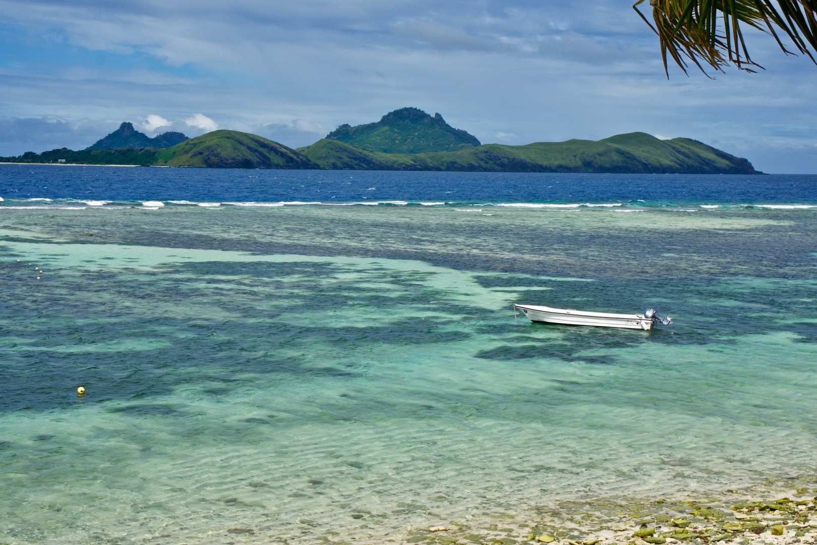
Tokoriki Island
Tokoriki Island is located in the northern Mamanucas of the Fiji Islands. This is a prime location for scuba diving and water sports.
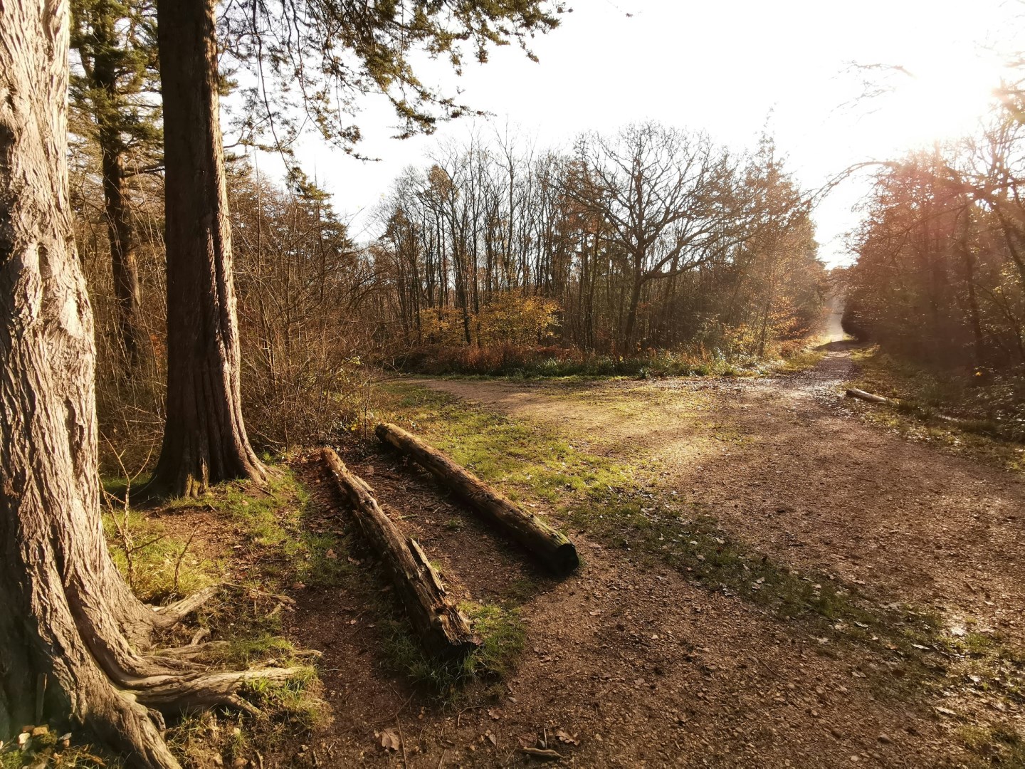
Isle of Wight
The Isle of Wight is an island off the southern coast of England, separated from Hampshire by the Solent. Its landscape includes chalk cliffs, sandy and shingle beaches, wooded valleys, farmland, and small coastal towns. Cowes, Ryde, Newport, and Ventnor are among its principal settlements, each with a different character shaped by maritime, agricultural, or seaside traditions.
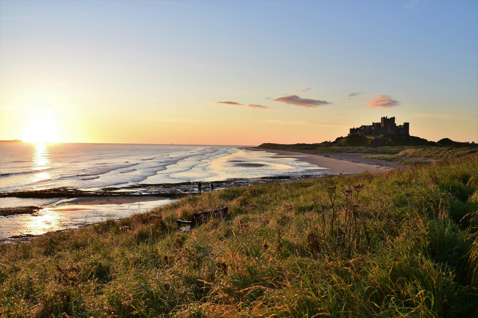
Bamburgh
Bamburgh is a coastal village on the Northumberland coast of northeast England, overlooking the North Sea from a low rocky rise. Its most recognizable landmark is Bamburgh Castle, which dominates the village and stands above a wide stretch of sandy beach. The settlement is surrounded by open coastal scenery, dunes, and views toward the Farne Islands.