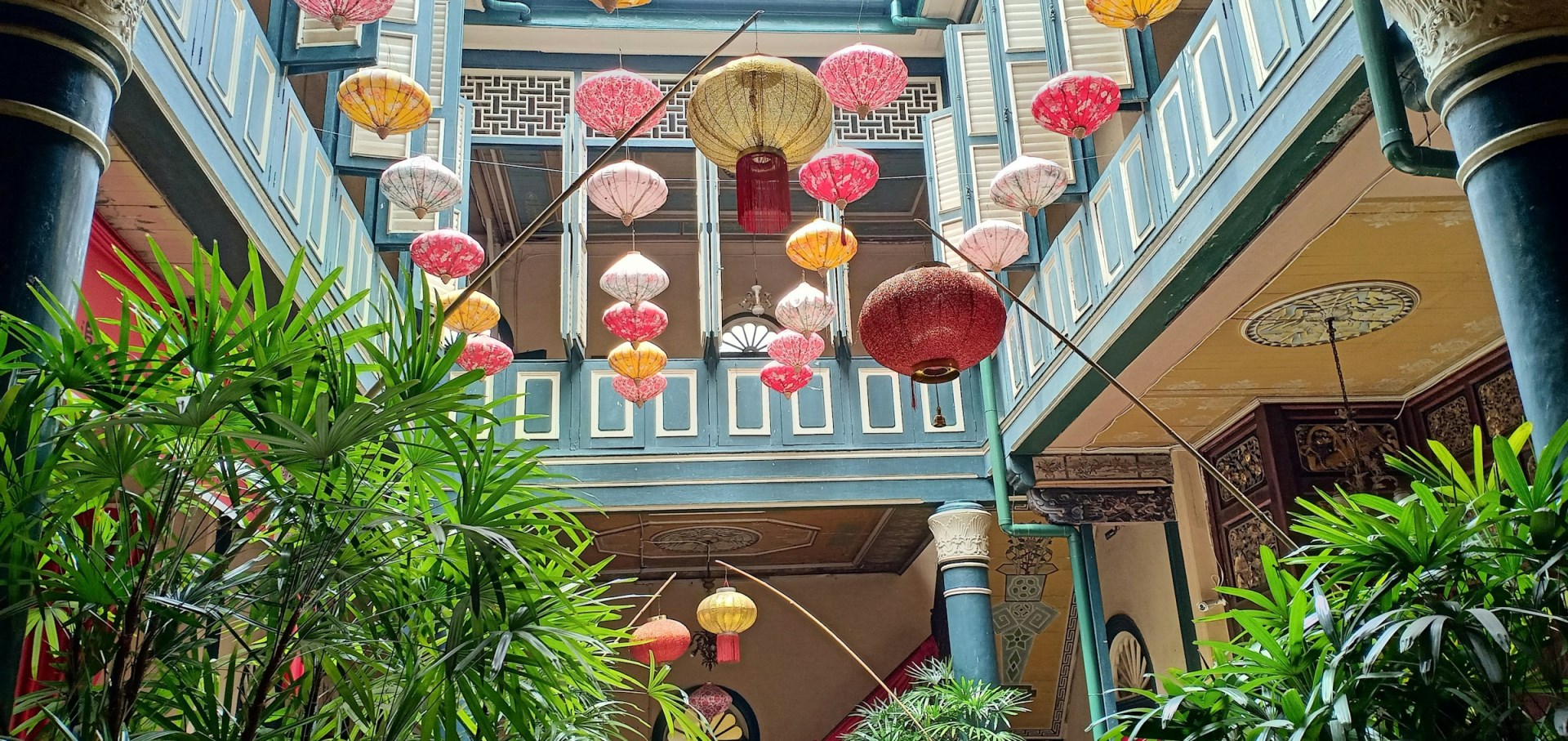
Medan
Medan is the capital of north Sumatra and the third largest city in Indonesia. It is a huge, sprawling city and a popular entry/exit point for travellers. The solid Dutch buildings of the affluent older suburbs inspire images of bloated bureaucrats and burghers from the colonial era, while jerry-built lean-tos house the bulk of its population.

Dominica
Dominica, known as the “Nature Island of the Caribbean,” is a haven for eco-tourists and adventure seekers. Nestled between the French islands of Guadeloupe and Martinique, this lush island boasts a remarkable landscape of volcanic mountains, dense rainforests, and stunning waterfalls. Dominica’s most iconic natural wonder is the Boiling Lake, the second-largest hot spring in the world.

Anguilla
Anguilla is a level coral atoll with abundant breath-taking beaches. The name comes from the Spanish word for eel, named apparently because of the island's long, narrow profile. The main town, The Valley, is found almost in the middle of the island. Most hotels and restaurants are found on the western point of the island.

Martha’s Vineyard
Martha’s Vineyard, located just seven miles off the coast of Cape Cod, feels like a world apart. This island has long attracted artists, presidents, and vacationers seeking something quieter than the mainland. With six distinct towns, each with its own style, visitors can explore everything from the stately streets of Edgartown, once a prosperous whaling port, to the laid-back vibe of Chilmark, where stone walls and sheep pastures stretch to the sea.
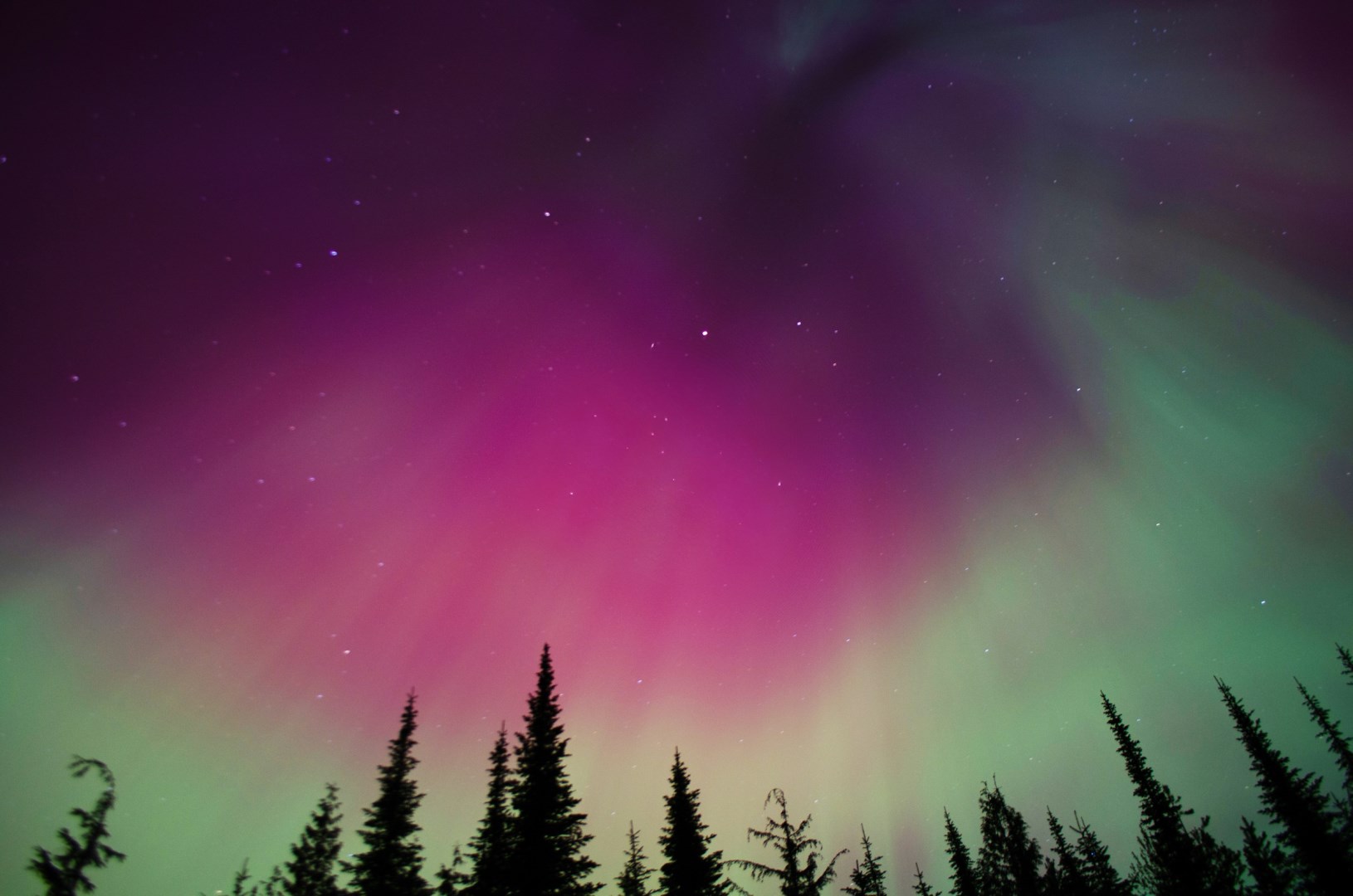
Nelson
Nelson is a small city in southeastern British Columbia, set along the West Arm of Kootenay Lake and surrounded by the Selkirk Mountains. Steep hills rise around the city, giving many streets views toward the lake and forested slopes. Nelson is known for its well-preserved historic downtown, heritage buildings, independent shops, galleries, and access to outdoor recreation.