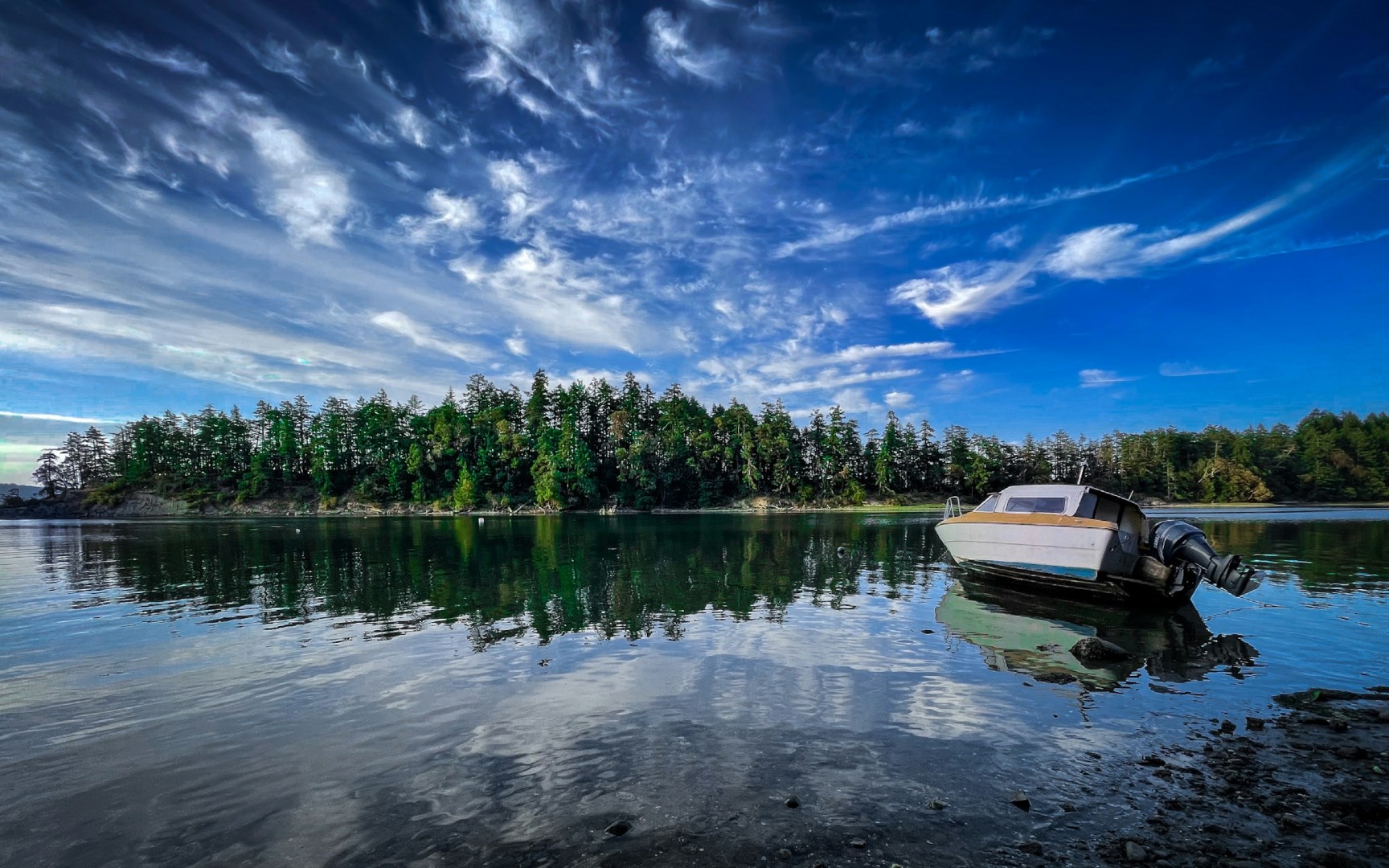
Salt Spring Island
Salt Spring Island is the largest of British Columbia’s Southern Gulf Islands, situated between Vancouver Island and the mainland in the Salish Sea. The island is known for its forested hills, sheltered bays, small farms, and network of rural roads. Ganges serves as the main community and a centre for shops, galleries, cafés, and waterfront activity, while Fulford Harbour and Vesuvius provide additional ferry connections.
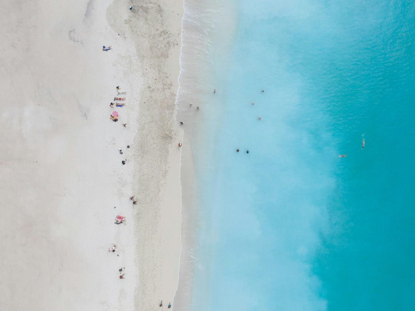
Mindelo
Mindelo, on the northern coast of São Vicente Island, is Cape Verde’s cultural pulse. Its streets are lined with colorful colonial buildings, lively squares, and historic churches that echo the city’s maritime past.

Doubtful Fjord
Doubtful Fjord (Doubtful Sound) is a large fjord in southwestern New Zealand, in the same region as the smaller but better known Milford Sound. It is home to an unusually large population of bottlenose dolphins, as well as a variety of birds, fur seals, penguins, and often even humpback whales.

Cartagena
Cartagena is a port city on Spain’s southeastern Mediterranean coast, in the Region of Murcia, where a sheltered harbor is surrounded by hills and historic neighborhoods. Its strategic position has made it an important maritime center for successive civilizations, leaving an unusually rich archaeological and architectural landscape. The modern city combines a busy waterfront with a compact historic center, where Roman remains stand alongside military buildings and modernist architecture.
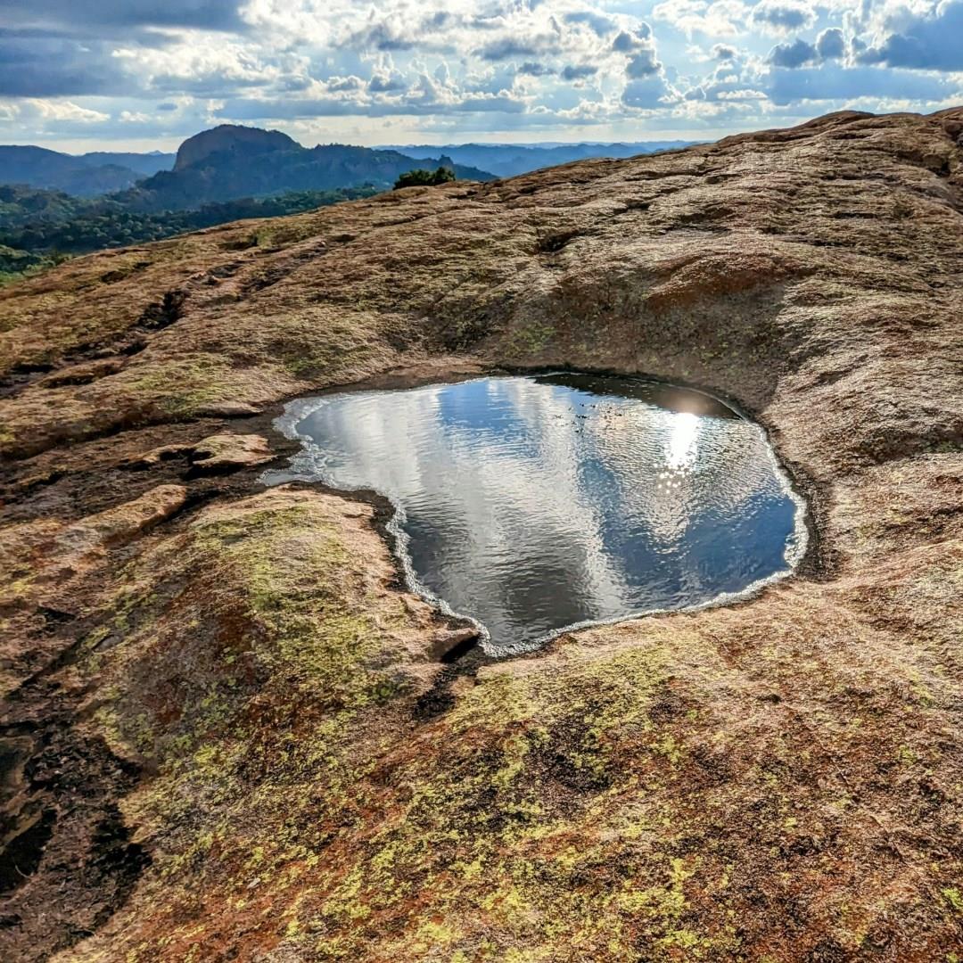
Matobo National Park
Matobo National Park sits in the rolling hills of southern Zimbabwe stands as one of the country’s most remarkable landscapes. Its granite domes, balancing rocks and wooded valleys have formed over more than two billion years, creating a setting that feels both ancient and alive. As a UNESCO World Heritage cultural site, the park preserves a landscape that has shaped human life here for millennia, drawing travelers to explore its unusual terrain and storied past.